The Global Positioning System (GPS) is a satellite-based navigation system that consists of 24 orbiting satellites.
From the known position of three or more satellites a GPS receiver can triangulate its location on the ground using longitude and latitude method. A GPS receiver can determine its 3D position using latitude, longitude and elevation methods from the known position of four or more satellites. Furthermore, GPS also supply data on speed and direction of travel in real-time. GPS has numerous application due to its navigational capability and 24 hours a day, 7 days a week, all over the world availability.
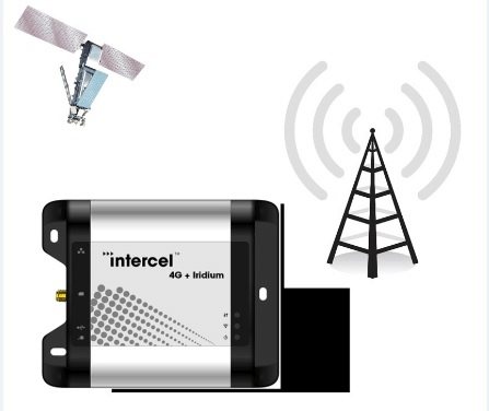
Intercel’s modems and routers equipped with GPS functionality are widely used by electricity companies to retrieve billing data accurately and cost effectively. Similarly, many fleet management companies are utilising Intercel products with GPS capability to track their vehicles to determine the ETA of their deliveries and for security purposes. Moreover, Security surveillance, environmental, industrial and building automation monitoring are few of many applications of GPS functionality in Intercel’s products.
In this application, we use the UltraSAM4W’s GPS function to get its position off the GPS satellites:
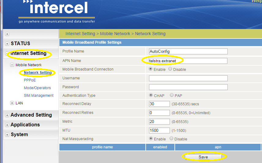
Note: APN Name varies according to operator. Please contact your Service provider to get the correct APN Name.
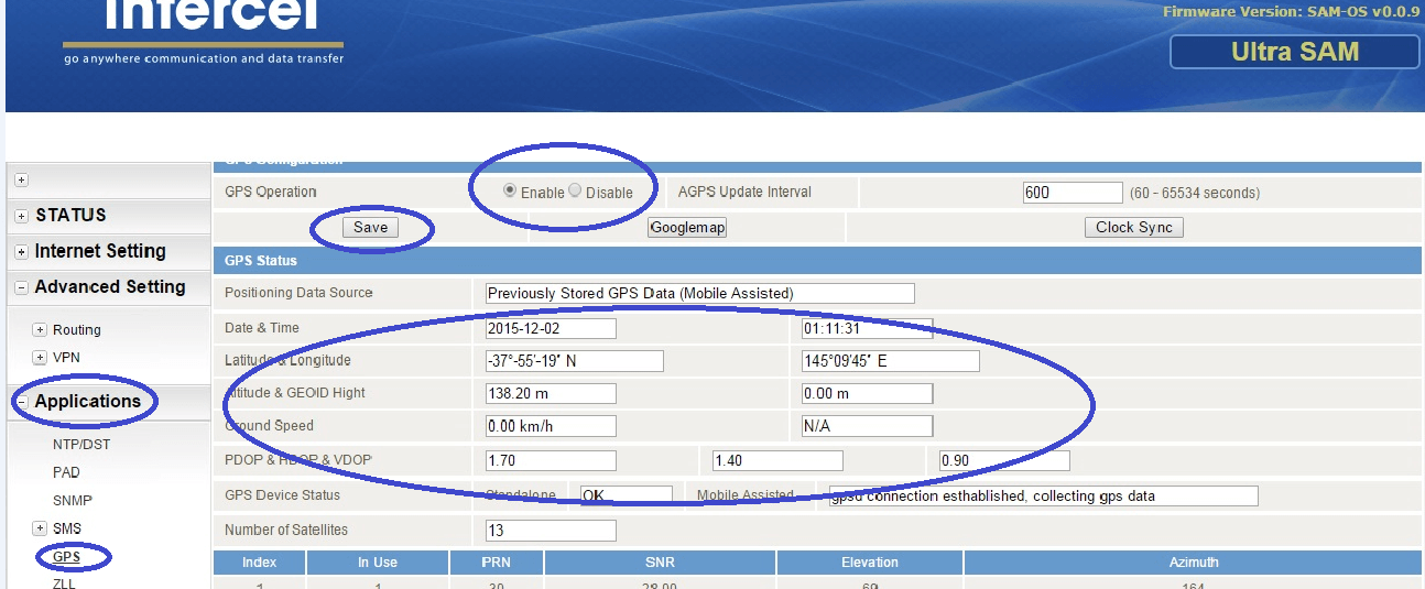
IMPORTANT: The GPS functionality required an external GPS antenna. The GPS antenna must be ordered separately.
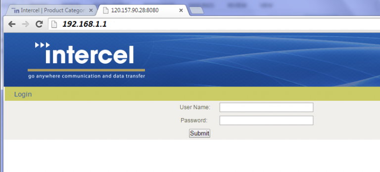
The unit can be remotely accessed from another location by using the SIM card IP address and opening the UltraSAM4W admin page. See below for the setup configuration:
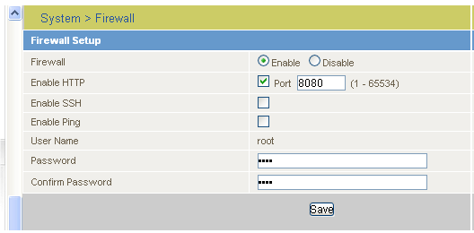
In order to remotely access the UltraSAM4W administration page, you may enter below onto your remote PC browser window:
https://XXXX:8080
Where XXXX is the IP Address of your UltraSAM4W as assigned by the network.